 Urban Forest Club
Made from real data
Every dot is an actual public tree, plotted from the city's own open dataset. Nothing is invented or decorative.
Minimalist maps of city trees
We map nothing but the public trees of a city — no roads, no buildings, no labels. Just the urban forest you walk through every day, redrawn as art.
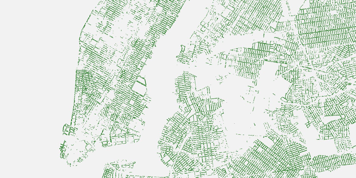
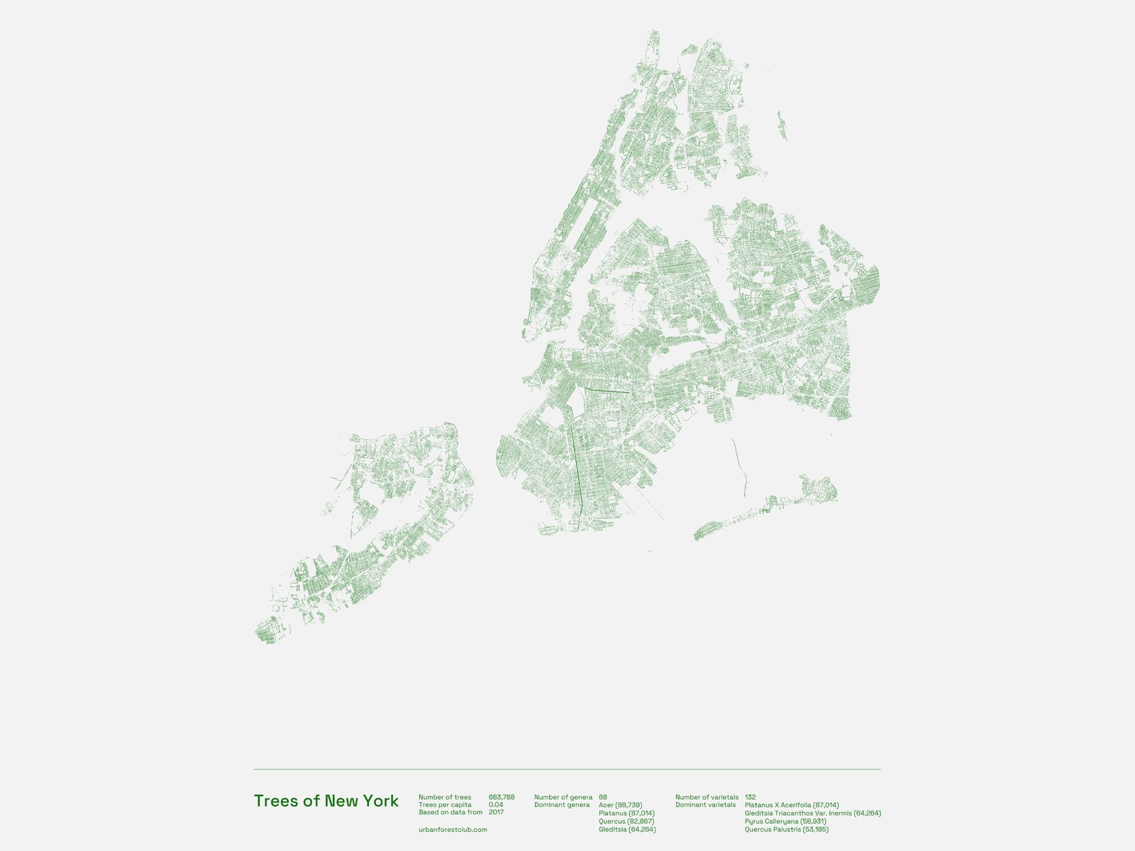 New York · 683,788 trees
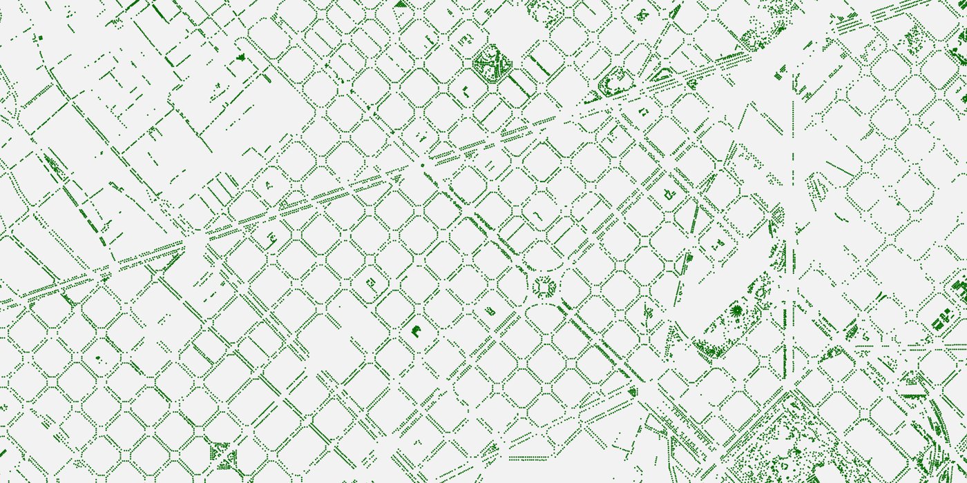
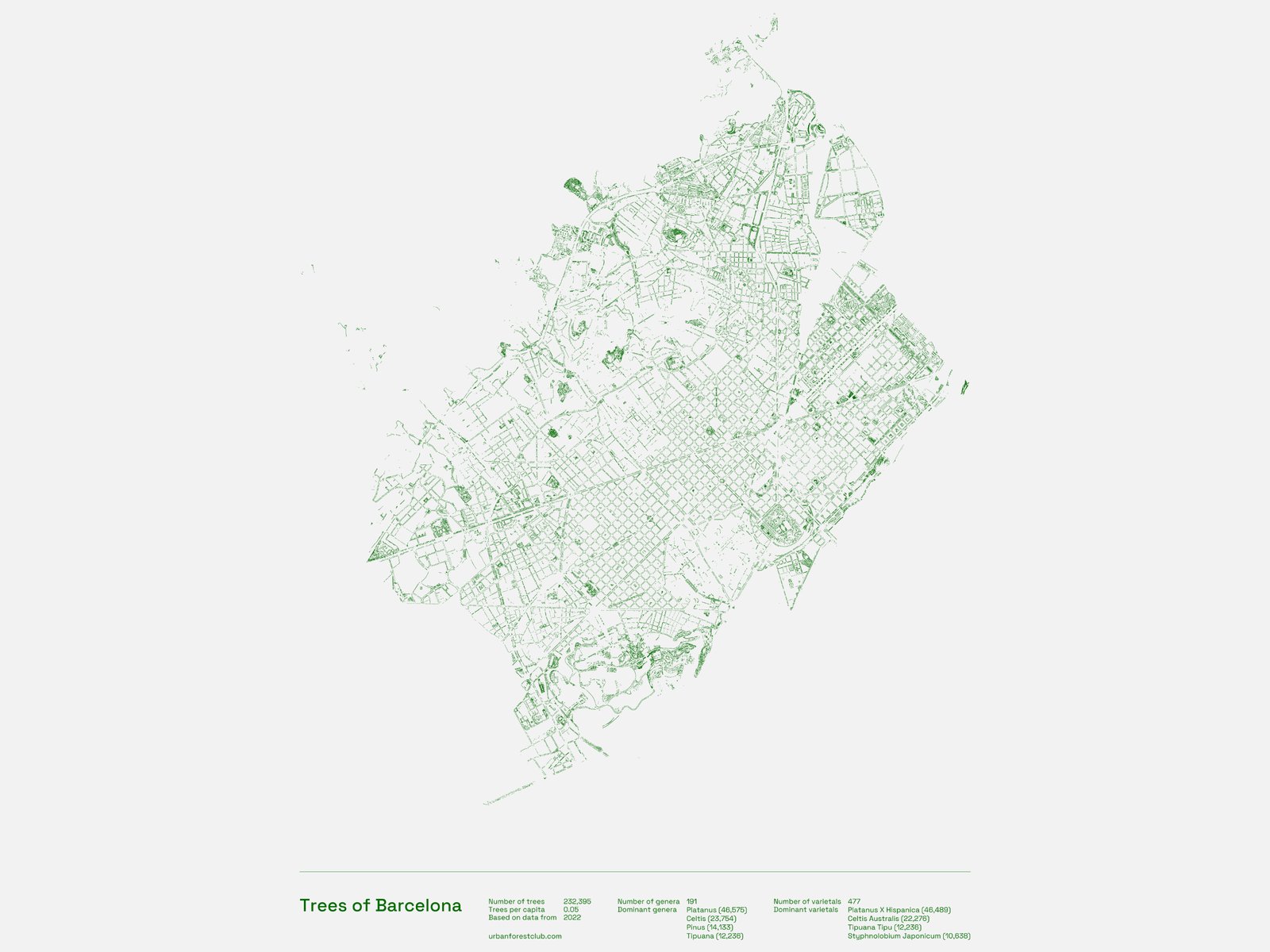 Barcelona · 232,395 trees
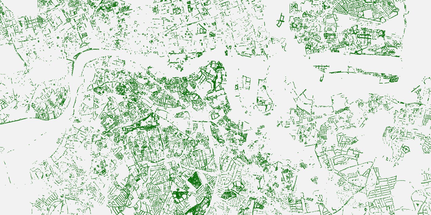
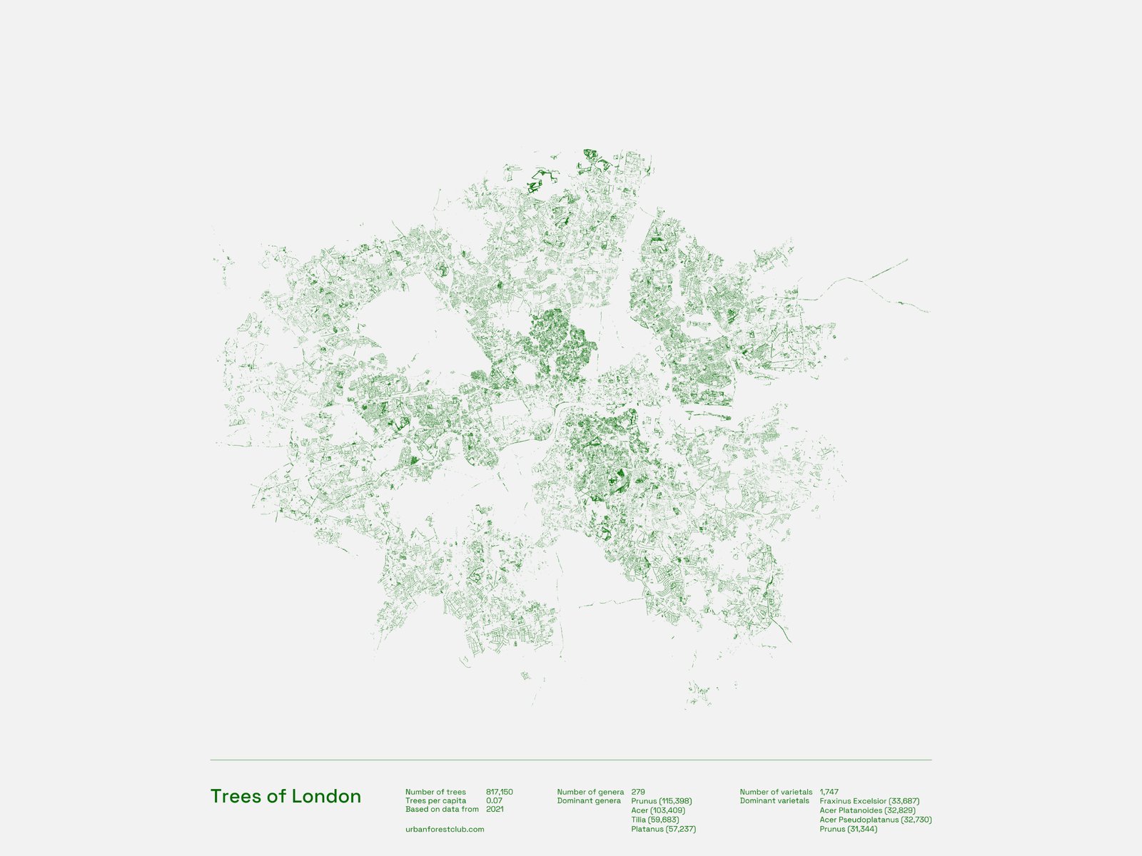 London · 817,150 trees
Each print is built from the same public data cities use to manage their urban forest — then stripped back until only the trees remain. The result is a portrait of a place you know, made entirely of the things that make it breathe.
Every dot is an actual public tree, plotted from the city's own open dataset. Nothing is invented or decorative.
Gallery-quality minimalist prints that work in a living room, a studio or an office — and start conversations in all three.
The perfect housewarming, leaving or homesick gift — and 10% of every sale funds forest conservation.
Zoom into any print and the streets hold up — every tree-lined block is drawn at full data resolution, not simplified for print. Here's the same three cities, up close.
10% of every sale goes to projects that protect existing trees and add more trees to the world — looking after wild forests while we celebrate the ones in our cities.
Join the list for new-city launches and the occasional surprising tree fact.
No spam, ever. One short email when a new city is added. Unsubscribe anytime.